Surveying Services


                                                    Surveying
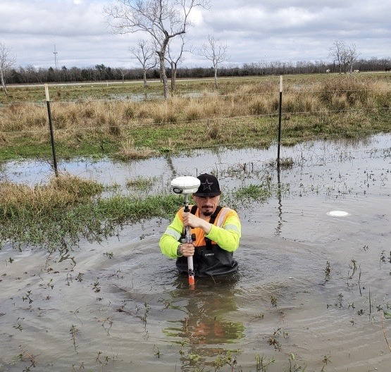
PCI has a highly skilled and experienced surveying team that is ready to assist you with your next project. To provide our clients with reliable, accurate and cost-effective services our team utilizes state-of-the-art technology while still following strong surveying principles and practices. This allows us to listen to our clients' needs and determine the most feasible and economical scope for our client.
- Control Surveys | Horizontal and Vertical (H&V)
- Design and Topographical Surveys
- ROW Surveys
- Construction Surveys
- Aerial, UAV LiDAR, and Mapping
- LiDAR Surveys
- Boundary Retracement Surveys
- Platting (Parcels and Subdivisions Tree Surveys)
- ALTA/ACSM Land Title Surveys
- Electric Transmission and Distribution Surveying
- 
Utility Mapping and Location Surveys
- 
Wireless Telecommunication Surveys
- 
Forensic Surveying (Accident)
- 
Architectural Surveys
- 
As-Built Surveys
- 
Environmental Baseline (e.g., Ordinary High Water Mark, Delineated Wetlands, Waters of the U.S., Tree Surveys, and Habitats)
- 
Flood Studies, Certifications, and Floodplain Determinations Surveys
- 
Hazardous Site Surveys