Role:
PrimeAgency:
U.S. Department of the Navy (NAVFAC Southeast)Services:
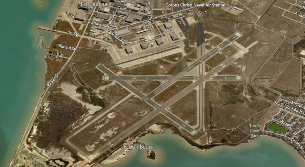
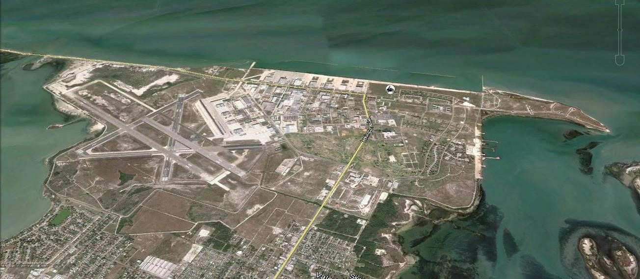
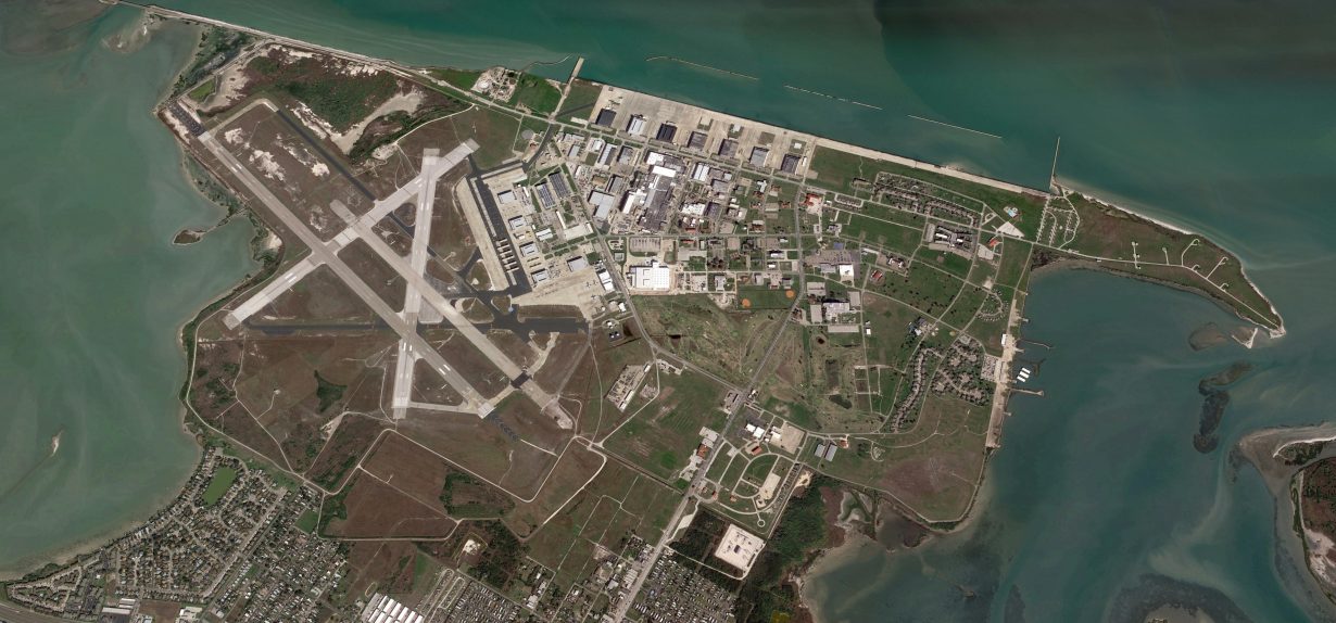
Land SurveyingCorpus Christi Naval Air Station (NAS-CC) in the NAVFAC Navy Region SE Phase II
PCI provided boundary survey services for the U.S. Department of the Navy for seven naval facilities in Texas totaling 18,933 acres. The purpose of this work was to prepare maps of Navy and Marine Corps real estate interests to be current, accurate, and updated in modern formats to ensure a uniform process for maintaining, auditing, and verifying records. All survey data was converted into updated GIS files and formats to support the Navy’s GeoReadiness Program.